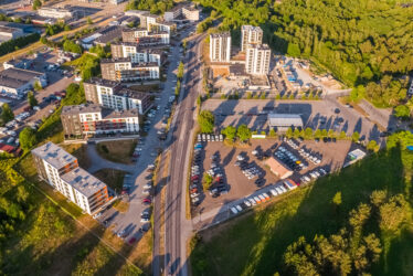
Land readjustment work
Geodetic surveying
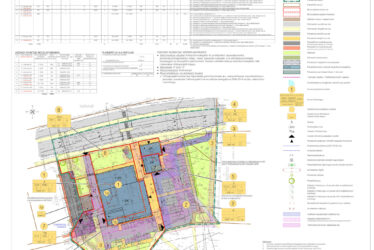
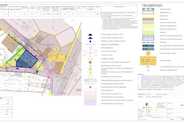
In the course of topo-geodetic surveying, we will prepare a report together with a digital geodetic base plan, which will serve as the basis for any subsequent design work. The topo-geodetic base plan will show aboveground structures, as well as the necessary ground elevation markers and all underground structures, such as utility networks. The positioning of utility networks will be co-ordinated with the owners of the utility networks.
Land readjustment
Land readjustment involves establishing new plots or rearranging existing plots or cadastral units. We will help you with the following land readjustment procedures:
- formation of cadastral units, changing of the boundaries of cadastral units;
- division or merging of existing cadastral units;
- formation of cadastral units on the basis of desk studies;
- marking of the boundaries of cadastral units in the field;
- apartment ownership procedures;
- land readjustment consultancy.